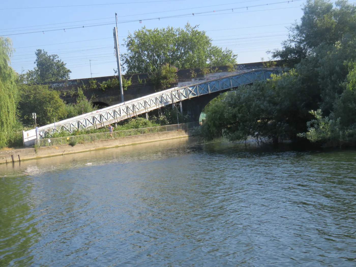
Five flood warning areas cover Reading, from Southcote and Coley to Lower Caversham, plus three wider alert areas. The council wants residents to buy sandbags.
Reading Borough Council has asked residents to buy their own sandbags before the autumn. It follows a summer in which southern England recorded its driest month since records began (Reading Borough Council, 27 August).
The council’s advice is to check your flood risk now. What it does not say is where the risk actually sits.
The Environment Agency divides Reading into eight named areas. Five are flood warning areas, where flooding to property is expected when one is issued. Three are wider flood alert areas, covering low lying land. They are listed below, with the streets and neighbourhoods each one covers.
No warning or alert is in force in Reading today.
The five flood warning areas
A flood warning “means flooding to some property is expected”, and a severe flood warning “means there’s a danger to life”, in the Environment Agency’s own words (Check for flooding).
| Area | River | What it covers |
|---|---|---|
| River Thames at Reading and Caversham | Thames | The Portman Road and Richfield Avenue industrial estates, the Caversham Road area and Lower Caversham |
| Properties closest to the Thames, Scours Lane to Caversham Lakes | Thames | Chazey Court Farm, Caversham Bridge, Fry's Island, Reading Bridge, and parts of Queen's Road and Mill Green in Lower Caversham |
| Properties closest to the Kennet at Burghfield, Southcote, Coley and Holybrook | Kennet | Burghfield Lock, Burghfield Bridge, Bear Wharf and the Kings Road area, and properties closest to the Holy Brook in Calcot, Southcote and Coley |
| River Kennet from Theale down to Reading | Kennet | Theale village and its business parks, Sheffield Bottom, Hawksbury Drive and Tadcroft Walk in Calcot, the Burghfield Mill and Bridge areas, and from the A4 to the confluence with the Thames |
| Foudry Brook from Stratfield Mortimer to Green Park | Foudry Brook | The brook's length from Stratfield Mortimer to Green Park |
Two of those five are the ones to know if you live in the borough. The Thames at Reading and Caversham area takes in the Portman Road and Richfield Avenue industrial estates, which is the festival site and the retail strip behind it. The Kennet area takes in Bear Wharf and Kings Road, which is the town centre.
Be careful with the others. Theale, Burghfield, Calcot and Stratfield Mortimer are not in Reading borough, and neither is Sonning. The Environment Agency draws these areas around rivers, not council boundaries, so several of them reach well into West Berkshire, Wokingham, Hampshire and Oxfordshire.
The three alert areas
A flood alert “means flooding to low lying land is possible”. It is the lower of the two levels and covers a much bigger area.
- River Thames from Mapledurham to Sonning, including Mapledurham, Reading, Caversham, Playhatch and Sonning.
- River Kennet from Thatcham down to Reading, including Burghfield, Colthrop, Woolhampton, Aldermaston, Theale, Calcot and Southcote.
- River Enborne and Foudry Brook, running from Gore End to Aldermaston and taking in the Foudry Brook from Scotsman’s Green to Green Park, plus Stratfield Mortimer and Tadley.
Only the first two reach the borough. The Enborne and Foudry Brook alert area is mostly West Berkshire and Hampshire, and touches Reading only at its Green Park end.
The rivers are low, which is the problem
The council is not warning about rivers. It is warning about rainfall landing on ground too hard to absorb it.
The numbers behind that are severe. Southern England recorded 1.9mm of rain in July, 3% of the average, its driest month ever recorded. England as a whole had 6.5mm, 10% of average, its driest July since records began in 1836 (Met Office, 3 August).
Reading’s own rivers show it. Live Environment Agency gauge readings at 2.15am on 1 September:
| Gauge | Level now | Typical range |
|---|---|---|
| Thames at Reading | 6.70m | 6.58m to 7.00m |
| Thames at Caversham Lock | 0.145m | 0.07m to 0.30m |
| Kennet at Blakes Lock | 0.075m | 0.00m to 0.20m |
| Kennet at Reading Calcot Bridge | 1.845m | 1.93m to 2.67m |
| Foudry Brook at Beech Hill | 0.953m | 0.62m to 2.00m |
Four of the five sit in the lower half of their normal band. The Kennet at Reading Calcot Bridge is below the bottom of its typical range altogether.
The council’s argument follows from that. Hard ground sheds water instead of taking it in. “Downpours can fall faster than the water can soak into the ground and large volumes of rainwater can quickly run off into streets, drains, sewers and low-lying areas,” said Cllr Liz Terry, the council’s leader.
What the council admits about the drains
The most useful line in the press release is the one about capacity.
Thames Water is responsible for most of the surface water sewers in the borough. The council maintains more than 18,000 roadside gullies, and their connections into the Thames Water sewer. It runs cyclical gully cleansing and inspections, and an annual winter leaf-fall sweep on tree-lined roads.
None of that decides the outcome in a downpour. In the council’s own words:
Once the Thames Water surface water sewers are at capacity, no more rainwater can enter the sewer via the road gullies and in some cases may even surcharge back out.
Cllr Terry put it more bluntly still: “The facts are, neither Thames Water’s sewers, or indeed the Council’s own gullies, are designed to withstand rainwater when it reaches a certain level.”
That is the reason the advice is to buy your own sandbags rather than to report a blocked drain.
One claim worth correcting
Cllr Terry’s statement says: “This year, we have seen the wettest month on record nationally for rainfall in January.”
The Met Office record does not show that. The UK had 142.6mm of rain in January 2026, 117% of average, which set no record. England had 124.2mm, 150% of average, the 15th wettest January. Southern England was wetter still at 174% of average, but that ranked sixth since 1836, not first (Met Office, 2 February).
The records that were set in January belonged elsewhere. Northern Ireland had its wettest January in 149 years, and at county level Cornwall and County Down each had their wettest January on record.
The point the council is making still stands. January was exceptionally wet and July was the driest month southern England has ever recorded, and that swing is the pattern it is warning about. The national record simply is not Reading’s, or England’s.
What it means for you
If your home is in one of the five warning areas, sign up for warnings now. The Environment Agency sends them by phone, text or email, free, at gov.uk/prepare-for-flooding. The same service shows your five day flood risk and your long term risk.
If you would rather use the phone, Floodline is on 0345 988 1188, textphone 0345 602 6340, open 24 hours. Each area also has its own quick dial code, which saves working through the menu:
- Thames at Reading and Caversham: 171213
- Properties closest to the Thames, Scours Lane to Caversham Lakes: 173130
- Properties closest to the Kennet at Burghfield, Southcote, Coley and Holybrook: 173149
- Kennet from Theale down to Reading: 315018
- Foudry Brook from Stratfield Mortimer to Green Park: 171019
- Thames from Mapledurham to Sonning, alert: 171216
- Kennet from Thatcham down to Reading, alert: 215002
- Enborne and Foudry Brook, alert: 171021
The council’s own asks are practical and cheap to act on:
- Buy and store sandbags before you need them.
- If you have flood guards, check they are where you can reach them.
- Have a plan for getting vulnerable relatives, children and pets out.
- Lift valuables off the floor in rooms that have flooded before.
Surface water flooding is the risk the council is actually describing, and it does not respect the eight areas above. Those are drawn around rivers. A flash flood on hard ground can happen on any street where the drains fill faster than they empty, which is why the advice is aimed at anyone who has been flooded before, wherever they live.
Questions people ask
Is there a flood warning in Reading?
No. No flood warning or flood alert was in force in any of Reading’s eight Environment Agency areas as of 1 September 2026.
What is the difference between a flood alert and a flood warning?
A flood alert means flooding to low lying land is possible. A flood warning means flooding to some property is expected. A severe flood warning means there is a danger to life.
Which parts of Reading flood?
The Environment Agency’s warning areas inside the borough cover:
- the Portman Road and Richfield Avenue industrial estates
- the Caversham Road area
- Lower Caversham, including Fry’s Island and parts of Queen’s Road and Mill Green
- Bear Wharf and the Kings Road area in the town centre
- properties closest to the Holy Brook in Southcote and Coley
Does Reading Borough Council provide sandbags?
The council’s advice published on 27 August is that residents should buy and store their own sandbags, and keep flood guards ready to deploy.
How do I sign up for flood warnings in Reading?
Register free at gov.uk/prepare-for-flooding for warnings by phone, text or email, or call Floodline on 0345 988 1188.
Sources
- Reading Borough Council, Residents Asked to Check They Are Flood-Ready, 27 August 2026 for the advice, the gully figure and Cllr Terry’s quotes.
- Environment Agency real time flood monitoring API for the eight flood areas, their descriptions, quick dial numbers and the live gauge readings, under the Open Government Licence.
- Check for flooding, Environment Agency for the alert and warning definitions and the status of each area.
- Met Office, historic July sees record dryness, 3 August 2026 for the July rainfall records.
- Met Office, Northern Ireland records wettest January in 149 years, 2 February 2026 for the January rainfall figures and rankings.
River levels change constantly. Check the Environment Agency’s service for the current position before acting on anything here. Our Reading roadworks and travel page covers road closures, and Reading planning applications covers development in flood zones.
Have your say